


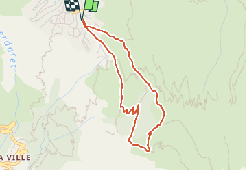
Les perrons

parastat
User


1h45
Difficulty : Medium

FREE GPS app for hiking
 SityTrail
IGN / Geographical institutes
SityTrail Plus
The world is yours!
About
Trail Walking of 4 km to be discovered at Auvergne-Rhône-Alpes, Isère, Les Deux Alpes. This trail is proposed by parastat.
Description
Seulement faire attention aux croisements avec les vtt qui descendent vite.
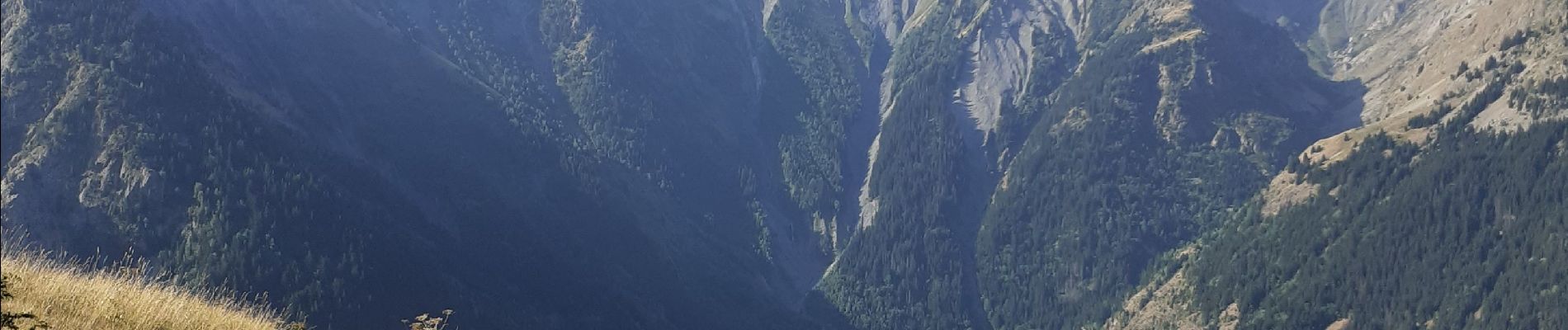
Terrible vue du glacier de la Muzelle en train de disparaitre.
Il y a 50 ans on commençait l’ascension sur ce glacier bien en dessous de l’œil.
La descente est presque toute au soleil.
Photos


Positioning
Comments